.svg)


.svg)


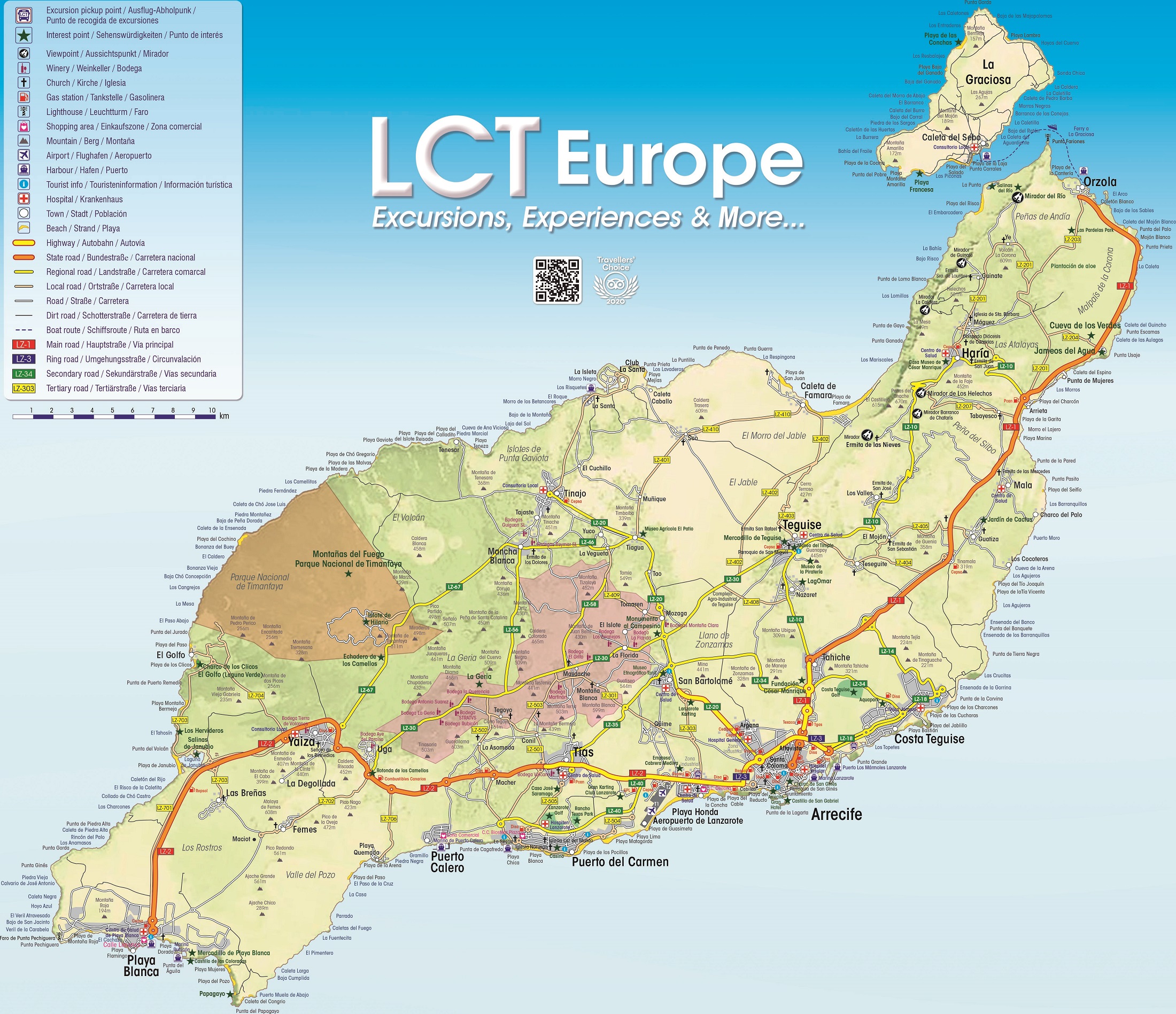
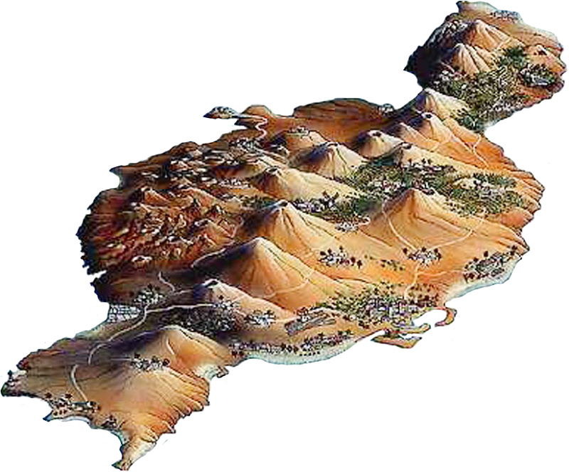
Lanzarote map
Lanzarote or also popularly known as the "Island of the Volcanoes". The island of Lanzarote is the fourth largest island in the archipelago with 845.94 square kilometres and the second largest island in the province of Las Palmas. Also, according to data from the year 2020, it is the third most populated island of the Canary Islands with 155.812 inhabitants after Tenerife and Gran Canaria. The name Lanzarote comes from the Genoese seafarer Lanceloto Malocello who was dedicated to trade and who visited the island in the 14th century (1330).
 |
 |
 |
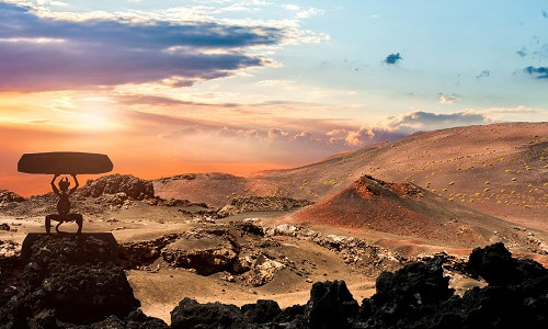
Lanzarote is the easternmost of the Canary Islands, known as the island of volcanoes, where we must highlight the beautiful Timanfaya National Park, also known as the Fire Mountains, which was the result of the great volcanic activity that took place at the beginning of the 18th century.
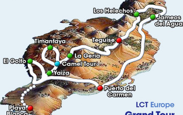
IMPORTANT NOTE: At the bottom of this page click on the link at the bottom of the page to access maps with the itineraries of the best excursions to discover Lanzarote.
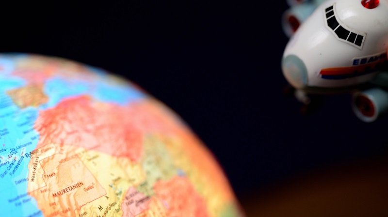
Africa is located at a distance of no more than 140 km from Lanzarote and the port of Cadiz, in the south of the Iberian Peninsula (Spain), is just over 1100 km away.
Road Map of Lanzarote (Author: LCT Europe*)
*All rights reserved on the map. Reproduction in whole or in part without the consent of LCT Europe is prohibited.